 By admin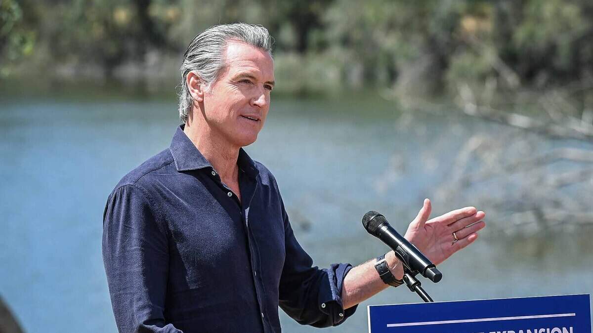
As the Super El Niño continues to strengthen, Gov. Gavin Newsom declared a statewide state of emergency Monday, ordering state agencies to stage flood equipment, ready the National Guard and speed up permits for flood protection work months before soaking El Niño rains could reach California.
Read more Is Yosemite National Park still open for tourists? Closures expand as Dome Fire spreads
Newsom said acting now will allow state agencies to move equipment into place, buy needed supplies sooner and clear regulatory hurdles for flood projects while there’s still time to finish them.
“We are preparing for this El Niño early because every Californian deserves to be safe in their home, connected to their community, and protected when severe weather comes,” Newsom said in a news release.
“We are not waiting for this season’s storms to be on our doorstep,” California Office of Emergency Services Director Caroline Thomas Jacobs said in a statement.
Under the emergency declaration, agencies and partners will be allowed and have the room to preposition sandbags, pumps and other equipment. Caltrans will stage traffic-control practices for flooding, road-closure and snow-removal equipment along the highways and corridors considered most at risk. The California National Guard will be ready to support flood response, search-and-rescue, engineering and logistics missions. Cal OES has also been directed to expand multilingual public messaging on flooding, evacuations, emergency alerts and power outages.
The order also tells state natural resources agencies to fast-track permitting for work that reduces flood and landslide risk. Natural Resources Secretary Wade Crowfoot said the state is “cutting red tape” to get that work done before the worst storms arrive.
El Niño breaks into record territory
El Niño is a periodic warming of the tropical eastern Pacific Ocean along the equator that influences weather patterns around the globe. Over the past week, this Super El Niño has pushed into new territory, easily earning its title of “Super.”
Sea surface temperatures in the key monitoring region have now exceeded 3 degrees Celsius (5.4 degrees Fahrenheit) above normal for the first time on modern record. East of this zone, the extra warmth is nearing 4 degrees Celsius, beating the previous record event in 1997 by half a degree. Further strengthening is expected over the next two months as these waters continue to warm. The strongest El Niño event in recorded is history is likely by most if not all metrics, including the Relative Oceanic Niño Index, which accounts for climate change induced warming in the calculations.
Read more Fantasy 5 players win nearly $1 million in California. See where tickets sold
Strong events tend to push a more active, energetic jet stream south toward California, bringing consistent and heavy rains. Very strong events and east-based events in particular — such as this current El Niño — have an increased inclination for prolonged statewide events. Seasonal climate models this year have already been pointing towards a wetter-than-normal winter across the state, including Northern California.
El Niño will not guarantee any particular storm or flood event. However, it does raise the odds of repeated rounds of heavy rain and mountain snow, and drastically lowers the odds of below-average precipitation from December through February.
Some of these effects have already arrived. The state points to recent coastal flooding being tied to El Niño, as Kelvin waves and warm ocean temperatures offshore are working to raise levels along the coast and warm-water-fueled hurricanes off Mexico have pushed large swells toward Southern California beaches.
Central Valley flood infrastructure at risk
For the Central Valley, Monday’s executive order will help to coordinate the state’s floodwater infrastructure ahead of any drenching rains to come.
Much of the Sacramento Valley depends on a network of levees, dams and bypasses to handle both large volumes of rainwater and extra releases from the many reservoirs in the mountains and foothills. Wet El Niño winters can fill reservoirs such as Folsom and Oroville quickly, forcing larger releases downstream and sending water into the Yolo and Sutter bypasses. These reservoirs are already at healthy levels, and prolonged rain events could force emergency releases. Increasing coordination statewide throughout the flood system can help avoid worst case scenarios.
Further south, the San Joaquin Valley has already seen recent widespread flooding from an El Niño event: the return of Tulare Lake brought by 2023’s atmospheric rivers. A wet winter on top of a heavy Sierra snowpack could raise that risk again in the spring.
Read more Gov. Gavin Newsom signs more than a dozen anti-election inference measures