 By admin
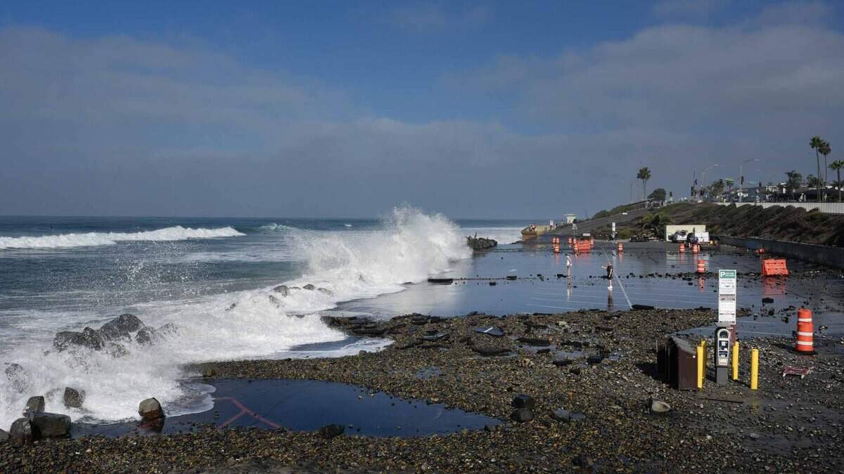
El Niño continues to get stronger this month, and according to new climate data released this week, it is expected to continue strengthening into December as its effects on the atmosphere become drastically more pronounced.
Read more California Republican leader loses Central Valley reelection bid
It is already having an outsized influence on our weather, with rain expected Friday and at several more times this weekend across the Golden State thanks to atmospheric rivers, and its influence will only continue to build over the coming months.
El Niño is a cyclic warming of the eastern Pacific Ocean along the equator, typically occurring every two to seven years. Strong El Niño events influence weather patterns globally, with the strongest El Niño events associated with increased rainfall across California.
In the key monitoring region the National Oceanographic and Atmospheric Administration uses to assess the strength of El Niño, the sea surface temperature anomaly is currently around 6 degrees Fahrenheit above average – the most intense El Niño on record.
When considering the extra warmth of the surrounding ocean, warmed by climate change over past decades, the footprint is still remarkable. Using the relative index, the new official metric of NOAA as of this year, the temperature anomaly is around 2 degrees Celsius. The latest climate models as of November bring this number to around 2.4 degrees Celsius, the current record set back in 1982-83, and even higher later this winter.
By every measure, this El Niño is smashing records. Its effects are already being felt along the coast, where an extremely strong marine heat wave has been made more intense by El Niño. Coastally trapped Kelvin waves have increased temperatures to more than 10 degrees above average along the California Coast, with increasing reports of tropical fish and species including whale sharks off the coast of Southern California.
The combination of warmer seas and increased rainfall will likely lead to substantial coastal erosion this winter as tides rise higher.
Extra El Niño rains are about to begin
El Niño’s influence on United States winter weather can best be thought of through its effects on the subtropical jet stream — a river of fast moving air across the Pacific Ocean and southern U.S. that acts as a divide between warmer tropical air towards the equator and cooler air to the north.
During strong El Niño events, the above-average warmth in the eastern Pacific increases the temperature contrast between the cooler air to the north, strengthening the subtropical jet stream and the bands of storms it can create.
When the subtropical jet stream is saturated with moisture, it can create atmospheric rivers — long strands of moisture and rain that stretch thousands of miles across the ocean.
Read more Proposition 42 passes, creating new obstacle to future California wealth taxes
With more available moisture and a stronger jet, El Niño can increase the strength of these atmospheric rivers with heavier and more prolonged rains. For California, these atmospheric rivers are often associated with the most notable of rain and flood events.
The latest run of the SEAS5, a climate model that has proved skillful for the western United States, from earlier this month delivers to the entirety of California well above average rainfall this winter, with areas along the coast seeing double their average winter rainfall.
Meanwhile, the Central Valley and Sierra are projected to receive about 150% of normal their winter rainfall. This will be felt as not just more rain adding up, but more rainy days in general along the entire length of the state.
While Southern California has a real potential for more than doubling its typical winter rain, already normally wet Northern California will see even more extra rain. The SEAS5 climate model gives most of the North Coast range and Sacramento Valley an extra six inches of rain this winter, with over a foot of extra rain along the coast.
Above-average snow expected in Sierra and Northern California
With more rains across California will come more snow at elevation, as is increasingly expected for the Sierra and Northern California this winter.
Latest projections from the SEAS5 model show well above-average snowfall across the Sierra from now through February, with substantially more snow expected at higher elevations.
While there is already a good shot for some decent Sierra snowfall later this week and next as several atmospheric rivers move in, the latest data points to most of the extra snow falling in January and beyond. December is trending closer to average as occasional bouts of warm air keep rain from turning into extra snow.
While above-average temperatures in November and December could work to melt some snow and move the rain-snow line higher, January inland temperatures are likely to cool down further and keep snowpack steady. This is especially true in the Southern Sierra where below average temperatures are anticipated to through February.
With El Niño expected to linger well into spring, above-average rain and snow is more likely than not to last into March and potentially even April.
Read more Sacramento approves $1.4M payout after cop smiled over handcuffed woman who later died
This story was originally published November 12, 2026 at 11:21 AM.