 By admin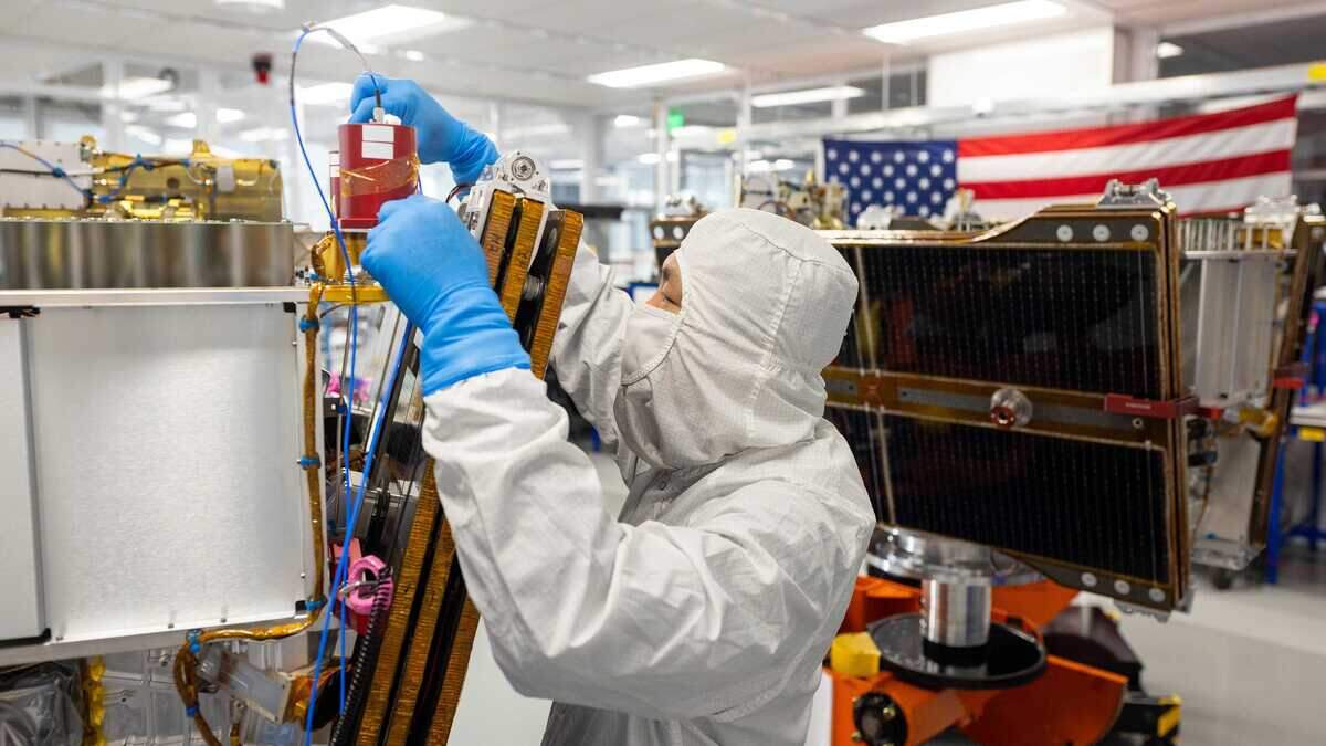
As California’s firefighters race to detect wildfires before they grow into destructive blazes, a new tool soon will join their arsenal: FireSat satellites, a constellation designed to detect wildfires.
Read more Sac State’s new on-campus living rule starts next month. Here’s what to know
Pioneered by the Earth Fire Alliance, or EFA — a global nonprofit organization developing technology to detect, monitor and research wildfires — and built by Muon Space, the state began to support the FireSat program in 2022.
In 2026, California is one of 15 early adopters of the technology, alongside Oregon, Colorado, Texas, Portugal, Australia, Morocco and Brazil.
“This is the future of early detection and ongoing assessment,” Cal Fire Intelligence Program Staff Chief Phillip SeLegue said in an interview. “Having that persistent coverage — that’s something that we have never experienced before.”
The quest for fast, accurate wildfire predictions
FireSat is the latest step in Cal Fire’s yearslong effort to improve wildfire detection and assessment.
Since 2019, the agency has invested in and used data from several projects aimed at identifying wildfires sooner and giving firefighters timely data to contain them as they spread.
AlertCalifornia — a wildfire detection network of more than 1,200 cameras and sensor arrays that uses machine learning and 20 years of data to enable early detection — and FireGuard, which relays wildfire data from military satellites, emerged from that effort, SeLegue said.
But relying on satellites designed for other purposes has, at times, delayed data reception, even though speed is critical in fighting wildfires, according to EFA.
The “gap” in wildfire-specific tracking equipment resulted in FireSat satellites, which use infrared technology to detect and image heat sources and provide data on hotspots, fire progression, fire perimeters and fire radiative power, SeLegue said.
“We can have more accurate simulations of that fire spread prediction, and the value of that is the timeliness of it, and the accuracy — it helps us pre-position resources, move resources, and allocate resources to maybe other places throughout the landscape,” SeLegue said.
Critical for California
SeLegue pointed to the Elephant Fire to demonstrate the value of FireSat technology. The blaze scorched 13,930 acres after it sparked July 11 and was 98% contained as of Friday.
Read more 49ers coach Kyle Shanahan injured in vehicle crash, team says
FireSat satellites would have allowed firefighters to detect the blaze earlier and dispatch resources more quickly, SeLegue said.
“Traditionally, we would have to receive, or to actually capture, a fire perimeter,” SeLegue said. “Well, these satellites will have persistent coverage that will receive updates of that fire perimeter every 20 minutes.”
California currently relies on the Fire Integrated Real-Time Intelligence System, or FIRIS, to provide real-time aerial intelligence and fire mapping. Since 2019, aircraft have flown more than 2,000 missions to capture the perimeters of ongoing blazes.
Those perimeter updates typically arrive only eight to 10 times a day while firefighters battle to contain a wildfire, SeLegue said.
“It’s really taking everything that we currently have and combining it between FireGuard, AlertCalifornia, and now the EFA data,” SeLegue said. “We know that this is something that will truly make a difference, for not just responders, but all of the citizens of California.”
A fleet of 50 by 2030
Three FireSat satellites were launched into orbit from Vandenberg Space Force Base on July 7, after a prototype satellite was launched in 2025 to validate the design and collect sample data, EFA said in a statement.
The three satellites will provide early adopters, including California, with data at least twice daily by the end of the year. Cal Fire has already begun to receive data from the prototype FireSat satellite launched last year.
By 2030, EFA aims to have launched a constellation of 50 satellites. The fleet would provide data worldwide every 20 minutes, including for California and the Sacramento area, according to SeLegue.
The cumulative data would become a global wildfire dataset available for first responders battling active fires and for researchers and firefighting agencies working to detect blazes sooner and contain them before they burn thousands of acres.
Read more What will Warriors do now that LeBron James has signed with Philadelphia 76ers?