 By admin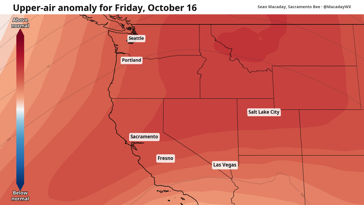
One week ago, a heat wave of record-proportions was bearing down on California. Several days later, a fall breeze and Tropical Storm Rachel lowered temperatures by around 30 degrees inland.
Read more Man, 33, facing homicide charge in deadly knife attack at Marysville supermarket
This week, temperatures are set to return to normal for the first time in a while. Meanwhile, light rain and snow will arrive in the Sierra.
On Monday, high temperatures across the Central Valley from Sacramento through Fresno will rise into the low to mid-70s, still well below average this year, with temps actually set to be on the cooler side in the low-70s across the San Joaquin Valley thanks to lingering scattered clouds from the weekend’s cooldown — a trough of low pressure still sits across the western United States, held in place by what is left of Tropical Storm Rachel. Elsewhere along the coast, a north wind has will hold highs down into the 60s anywhere with an ocean view.
Overnight Monday, low temperatures drop into the 40s across the entire Central Valley underneath mostly clear skies, still winds, and the low pressure still in place. It will be one of the cooler mornings in a long time. The last time Fresno had a low temperature in the 40s was April 28, 166 days ago.
This cool pattern begins to change on Tuesday. As the trough of lower pressure through the upper atmosphere begins to weaken, temperatures are set to naturally warm in its place. High temperatures will warm just a tad Tuesday with a few light clouds still streaming through occasionally with mostly sunny skies. With air rushing back in to fill the region as the trough of lower pressure disappears, wind will gust 15-20 mph across the Central Valley and foothills later Tuesday afternoon and evening to fill the void.
Read more Unplanned outage in El Dorado County leaves thousands without power
Overnight lows will still hold in the 40s Tuesday, but they will start to climb.
This continues into Thursday, when highs in the low 80s are expected across the San Joaquin Valley on Thursday afternoon, and 84 degrees for Sacramento. Low temperatures rebound into the 50s, and normal mid-October weather arrives for the first time this month and lasting through the weekend.
Showers and snow in the Sierra
The cool air trough overhead Monday is not only good for that crisp cool air, it also is good for squeezing out showers and even some snowflakes.
Leftover moisture from Tropical Storm Rachel is streaming across the Great Basin in Nevada on Monday, with some of that reaching the Sierra in the form of showers and snowflakes expected to begin Monday around 5 p.m. through midnight. Most accumulation will be sparse, including snow, where snowfall could reach 1–2 inches along mountain peaks between Lake Tahoe and Mammoth Springs.
Read more Alligator knocks on NC woman’s front door at 1 am. ‘We surprised each other’
This story was originally published October 12, 2026 at 7:36 AM.