 By admin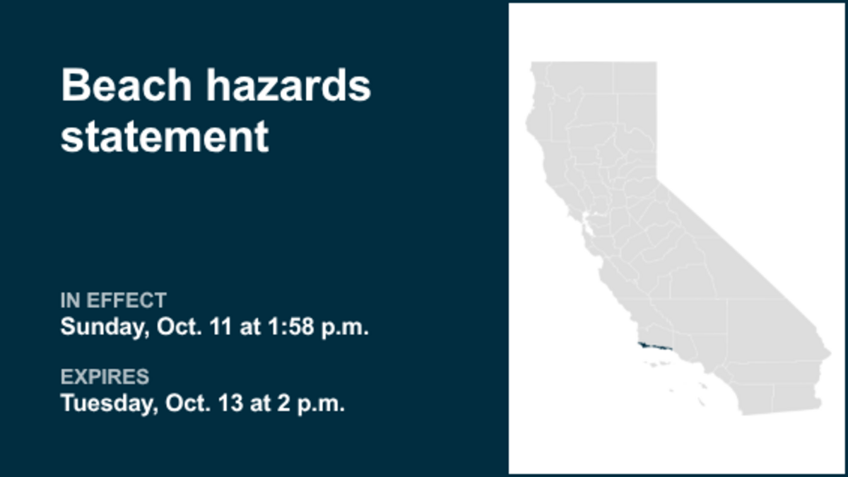
The creation of this content included the use of AI based on templates created, reviewed and edited by journalists in the newsroom. Read more on our AI policy here.
Read more Morning Bid: It takes two to make a ceasefire
At 9:02 p.m. on Sunday, the NWS Los Angeles/Oxnard CA released an updated beach hazards statement in effect until Tuesday at 2 p.m. for Santa Barbara County Southwestern Coast and Santa Barbara County Southeastern Coast.
“Dangerous rip currents and elevated surf are expected,” states the NWS. “High tides are expected to peak around 7.1 to 7.3 feet on Monday and Tuesday mornings.”
Read more Share markets choppy in Asia as earnings loom, oil slips
“Minor to moderate flooding of sea water is likely around high tide at low-lying beach and harbor areas that is uncommon with normal tidal ranges. Enhanced beach erosion is possible. The risk for significant damage is very low. There is an increased risk of ocean drowning. Rip currents can pull swimmers and surfers out to sea. Waves can wash people off beaches and rocks, and capsize small boats nearshore. Large secondary high tides are also expected each evening,” explains the NWS. “Take the necessary actions to protect flood-prone property. Do NOT drive around barricades or through water of unknown depth. Remain out of the water due to hazardous swimming conditions, or stay near occupied lifeguard towers. Rock jetties can be deadly in such conditions, stay off the rocks.”
Read more St. Louis City now unbeaten in 20 straight matches after demolishing Galaxy
This statement is in effect until Tuesday at 2 p.m.
Source: The National Weather Service
United Robots California
This story was originally published October 11, 2026 at 1:59 PM.