 By admin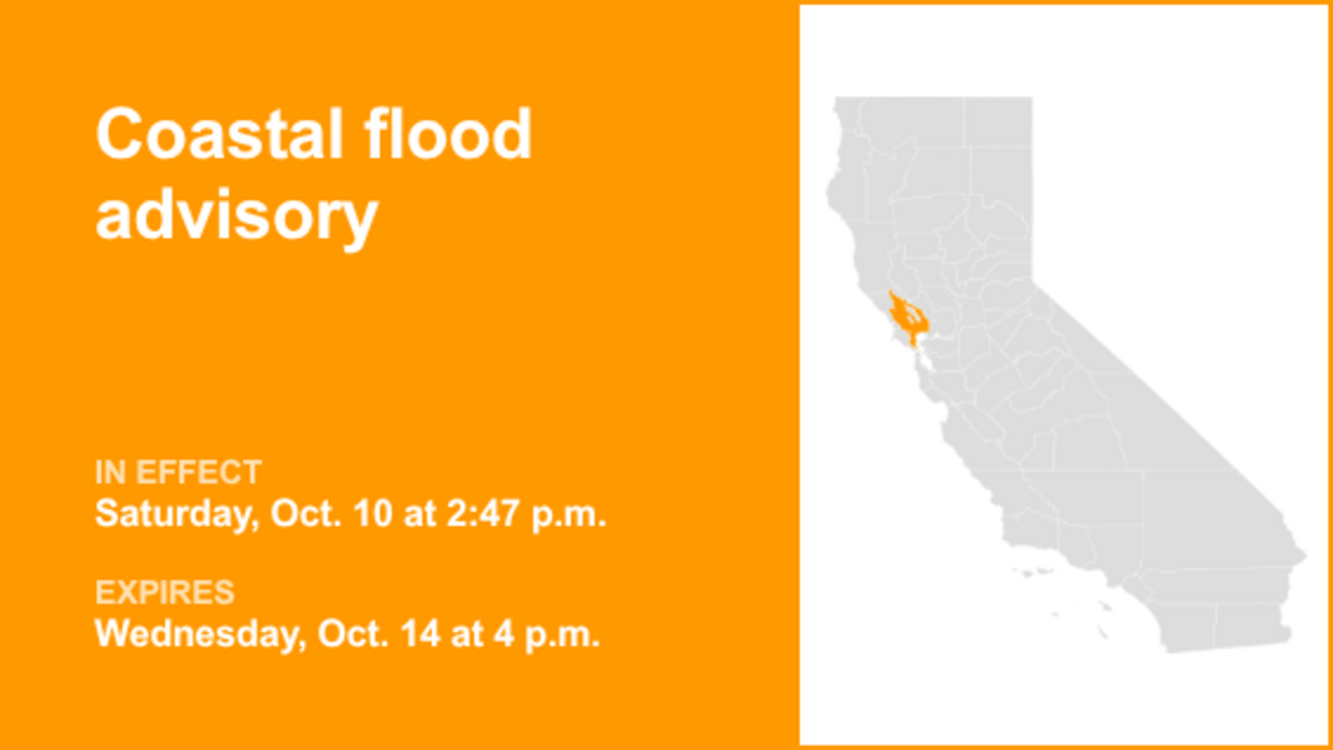
The creation of this content included the use of AI based on templates created, reviewed and edited by journalists in the newsroom. Read more on our AI policy here.
Read more UPDATE: Beach hazards statement in place for Northern California until Monday night
On Sunday at 7:19 a.m. an updated coastal flood advisory was released by the NWS San Francisco CA in effect until Wednesday at 4 p.m. for North Bay Interior Valleys.
“Up to 1.5 ft of inundation above ground level is possible in low-lying areas near shorelines and tidal waterways,” can be anticipated according to the NWS. “At the San Francisco tidal gauge, high tide is expected to be 1.5 ft above normal (7.3 ft MLLW) at 12:18 p.m. Sunday 10/11, 1.2 ft above normal (7.1 ft MLLW) at 12:46 p.m. Monday 10/12, 1.1 ft above normal (7.0 ft MLLW) at 1:14 p.m. Tuesday 10/13, and 0.9 ft above normal (6.7 ft MLLW) at 1:46 p.m. Wednesday 10/14. These predictions include up to 1.2 ft of surge that will enhance the astronomical tide and flooding threat. High tide varies up to 90 minutes earlier or later along the Pacific Coast and through the San Francisco Bay, respectively.”
“Flooding of lots, parks, and roads with only isolated road closures expected. High tides will result in flooding along coastal trails, cut off access to some low-lying beaches and coastal areas, and bring water and waves farther up the beach than typical. Dangerous conditions are forecast along the shoreline. Hazards include sneaker waves, strong rip currents, and large breaking waves,” explains the NWS. “If travel is required, allow extra time as some roads may be closed. Do not drive around barricades or through water of unknown depth. Take the necessary actions to protect flood-prone property.”
Read more UPDATE: Coastal flood advisory for San Francisco Bay Shoreline until Tuesday afternoon
This advisory is in effect until Wednesday at 4 p.m.
Recommendations from the NWS for staying safe during a flood
In case you reside within a flood-prone area or are currently camping in a low-lying zone, it is crucial to promptly seek higher ground. If told to evacuate, do so immediately. Ensure your home is securely locked when vacating the premises. If time permits, disconnect utilities and appliances. Avoid entering basements or rooms with submerged electrical outlets or cords. Should you observe sparks or hear buzzing, crackling, snapping, or popping sounds, evacuate immediately. Refrain from entering water that might carry an electric current and avoid walking through floodwaters. Remember, as little as 6 inches of moving water can knock you off your feet. If trapped by moving water, seek the highest possible point and contact emergency services by calling 911.
During periods of intense rainfall, the risk of flooding increases, particularly in low-lying and flood-prone areas. It is imperative to avoid driving through any water on the road, even if it seems shallow. According to the NWS, most cars can be swept away by just 12 inches of rushing water.
Rainy weather driving tips
- Switch on headlights – Even during daylight hours, using headlights can enhance visibility and signal your presence to other drivers.
- While driving – Stick to the middle lanes and stay on elevated ground. Rainwater tends to accumulate at the road edges.
- Keep clear of puddles – Driving through puddles or low rainwater areas can cause vehicles to hydroplane or skid out of control
- Do not follow large vehicles closely – Large vehicles like trucks or buses can create a spray of water that can reduce your visibility.
- Avoid flooded areas – When encountering a flooded road, do a U-turn and head back. The strong currents from flash floods can pull drivers off roadways. Driving through deep water can also negatively affect a vehicle’s mechanical and electrical systems.
What is hydroplaning?
Hydroplaning is when a vehicle starts uncontrollably sliding on wet roads.
This happens when water in front of the tire builds up faster than the vehicle’s weight can push water out of the way. The water pressure then causes the vehicle to rise and slide on a thin layer of water between the tires and the road, making the driver lose control. Hydroplaning is primarily caused by three factors:
Read more UPDATE: Coastal flood advisory affecting Northern California until Tuesday afternoon
- Vehicle speed – When a vehicle’s speed increases, the tire-traction grip and ability to control the vehicle decreases. Drive at a reduced speed during wet weather.
- Water depth – The deeper the water, the sooner a vehicle loses traction on the road. It doesn’t matter how deep the water is, even a thin layer can lead to hydroplaning.
- Tire tread depth – Checking your tire tread before hitting the road is important, as low or no tread can lead to sliding.
In the event of your vehicle hydroplaning, here’s what to know:
- Ease off the accelerator – Step off the gas to slow down the vehicle until the tires find traction.
- Turn into the skid – Turning into the skid can help the vehicle’s tires realign to regain control.
- Make sure the tires reconnect with the road – During the skid, wait until the tires reconnect with the road and then gently straighten the wheels to regain control.
- Brake gently as needed – Brake normally if the vehicle has anti-lock brakes and pump brakes gently if in an older vehicle.
Source: The National Weather Service
United Robots California
This story was originally published October 10, 2026 at 2:51 PM.